|
We are an
Atlanta, GA U.S.A. small business, you can call us and speak to a
live
person U.S.A. REGIONAL BUSINESS MAPS DETAILED U.S.A. REGIONS CITY COUNTY MAPS LARGE UNITED STATES MAP The most detailed USA wall map!
U.S.A.
COUNTY LINES Hardcopy WALL MAPS important tools for business
Download Maps on sale
40% off! |
MAPS
TO PRINT - Southwest States Region Map
Digital Image files to download then print out maps of Southwest States
from
your computer
Topographic color map of
Southwest States,
County and Highway map of Southwest States, for sales territories
and reports. Map including California - Nevada - Utah - Colorado - Arizona - New
Mexico
CLICK on the images below to see sample views of the downloadable maps...
*Teachers! The free outline maps are great for classroom activities!
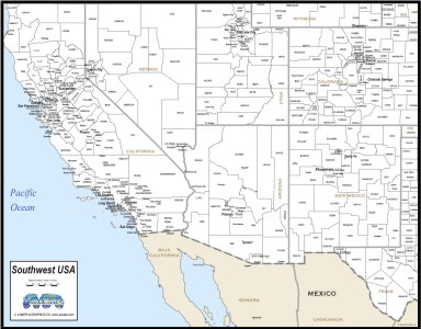 Southwest States MAP Counties with names, cities black & white |
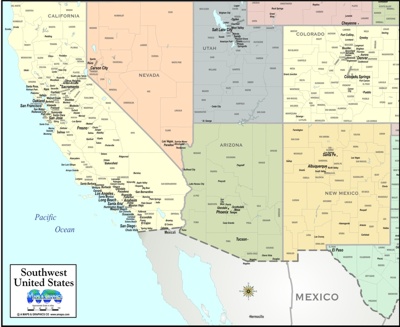 Southwest States COUNTY/TOWN MAP COLOR |
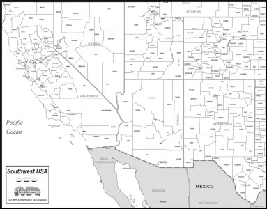 Southwest States Map Counties with county names, Black & White |
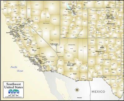 Map of Southwest USA ANTIQUE COLOR Cities & Counties |
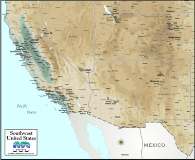 Map of Southwest USA Topographic with Cities & Counties |
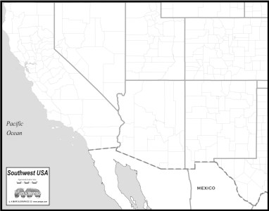 OUTLINE MAP OF Southwest States *FREE DIGITAL MAP* |
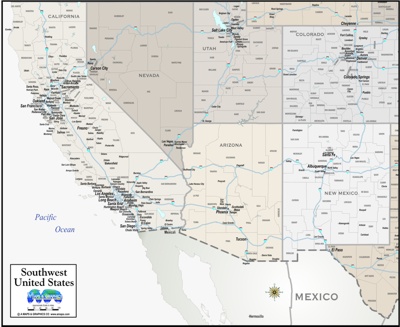 City and county with interstate highways Southwest States Map "greige" |
| THE OTHER MAP STYLES ABOVE CAN BE PURCHASED AS HIGH RESOLUTION 300 DPI IMAGE .jpg FORMAT, FOR YOUR PRINTER, TO INSERT INTO A DIGITAL PRESENTATION, REPORT DOCUMENT OR PROGRAM, PRINTED IN A BROCHURE OR PLACED ON A WEB SITE. |
| Hardcopy... ALL OF OUR DIGITAL MAPS ARE ALSO AVAILABLE AS QUALITY COLOR PRINTS, MOUNTED PIN-BOARD, LAMINATED & FRAMED IN CONTEMPORARY METAL MOLDING - YOUR CHOICE OF gold, silver or black OR Various wood finishes APPROXIMATE SIZE 18X24" FRAMED - starting at $189.00 INCLUDES CRATING AND SHIPPING! SPECIAL These make great Corporate Gifts... ***We can even print your COMPANY LOGO or title on the map legend free of charge if you email us a good resolution digital file*** |