|
We are an
Atlanta, GA U.S.A. small business, you can call us and speak to a
live
person U.S.A. REGIONAL BUSINESS MAPS DETAILED U.S.A. REGIONS CITY COUNTY MAPS LARGE UNITED STATES MAP The most detailed USA wall map!
U.S.A.
COUNTY LINES Hardcopy WALL MAPS important tools for business
Download Maps on sale
40% off! |
ZIP CODE & MARKETING MAPS...
Atlanta Region Business Planning ZIP code map
| 5-digit Zip Codes, Counties, Cities
& Towns, Highways & Roads | |
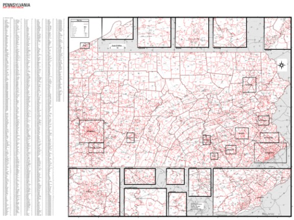
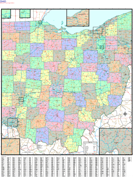
MAPS available for every State, City, & County in the USA.
|
Detailed, up-to-date marketing maps with zip codes are plotted per order from a unique custom GIS programmed database. These attractive and informative full-color wall maps are color, indexed and laminated. Available in sizes below... |
STATE DETAIL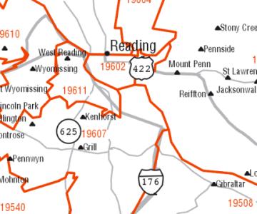 |
 |
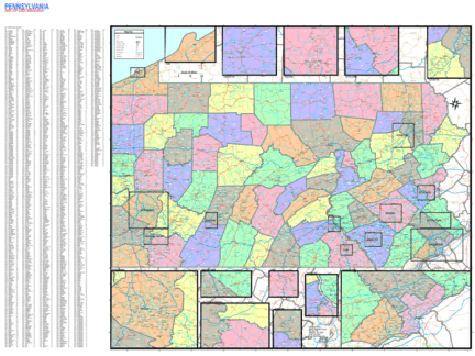 |
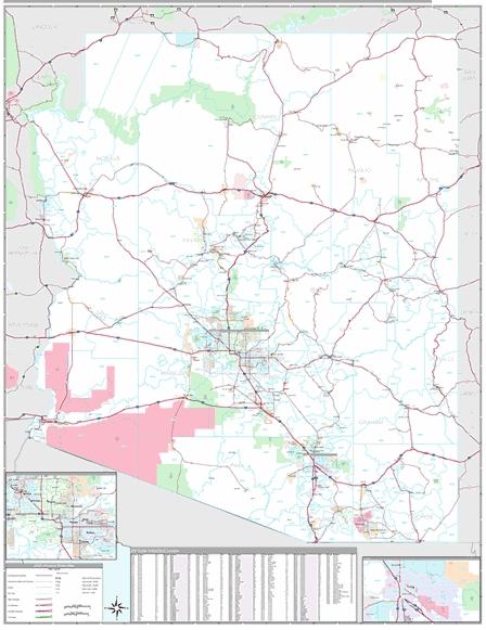
ZIP CODE MAPS OF ALL US STATES |
*STATE ZIP CODE WALL MAPS*
|
|
 |
METRO ATLANTA REGION BUSINESS PLANNING AND ZIP CODE WALL MAP
call us in Atlanta area 770-443-8808
email us mapwench@gmail.com