|
You
can call and speak with an actual
live person. USA SALES REGIONS DETAILED MAPS
United States COUNTY/CITY SERIES U.S. REGIONS SALES/MARKETING COUNTY/CITY WALL MAPS
Hardcopy WALL MAPS are
Download Maps on sale 50% off! Regular $19.95 only
$9.95 for any digital map! |
USA Region
maps, download digital map image for 12 Multi-state marketing
areas
CLICK your sales region below for details and to view various styles
and color choices available
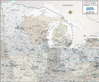 Great LAKES STATES MAPS |
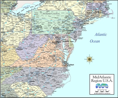 MID ATLANTIC REGION |
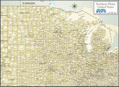 NORTHERN PLAINS STATES |
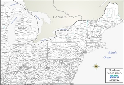 NORTHEAST UNITED STATES MAPS |
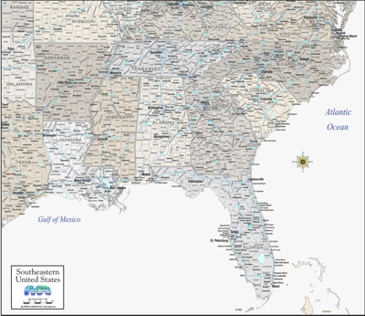 SOUTHEAST USA REGION |
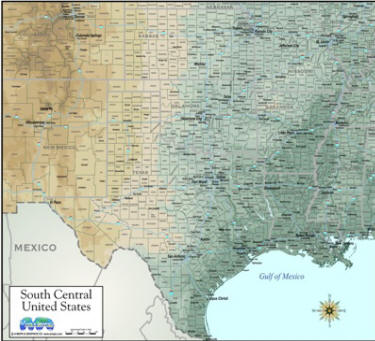 SOUTH CENTRAL REGION |
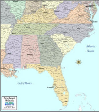 SOUTHEAST ATLANTIC STATES |
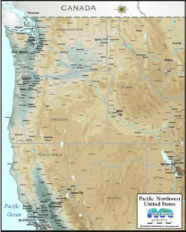 PACIFIC NORTHWEST STATES |
 PACIFIC NORTHWEST REGION |
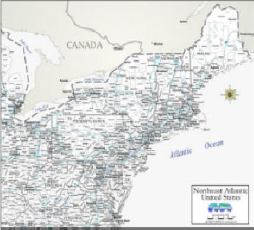 NORTHEAST ATLANTIC REGION |
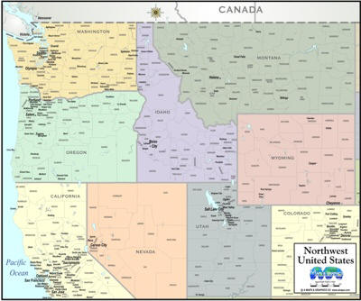 NORTHWEST STATES |
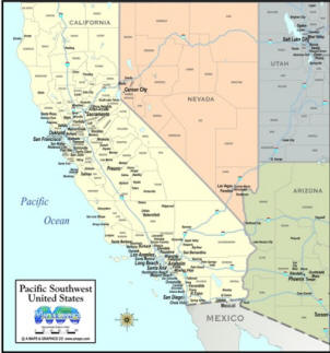
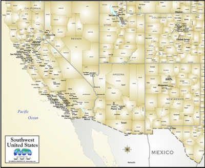 SOUTHWEST USA REGION |
| MAP STYLES ABOVE CAN BE PURCHASED AS HIGH RESOLUTION 300 DPI IMAGE .jpg FORMAT, FOR YOUR PRINTER, TO INSERT INTO A DIGITAL PRESENTATION, REPORT DOCUMENT OR PROGRAM, PRINTED IN A BROCHURE OR PLACED ON A WEB SITE. |
| Hardcopy... ALL OF OUR DIGITAL MAPS ARE ALSO AVAILABLE AS QUALITY COLOR PRINTS, MOUNTED PIN-BOARD, LAMINATED & FRAMED IN CONTEMPORARY MOLDING - |